Anju Mercian: Reducing Earth Quake Damage Through Data
Written by WWC Team

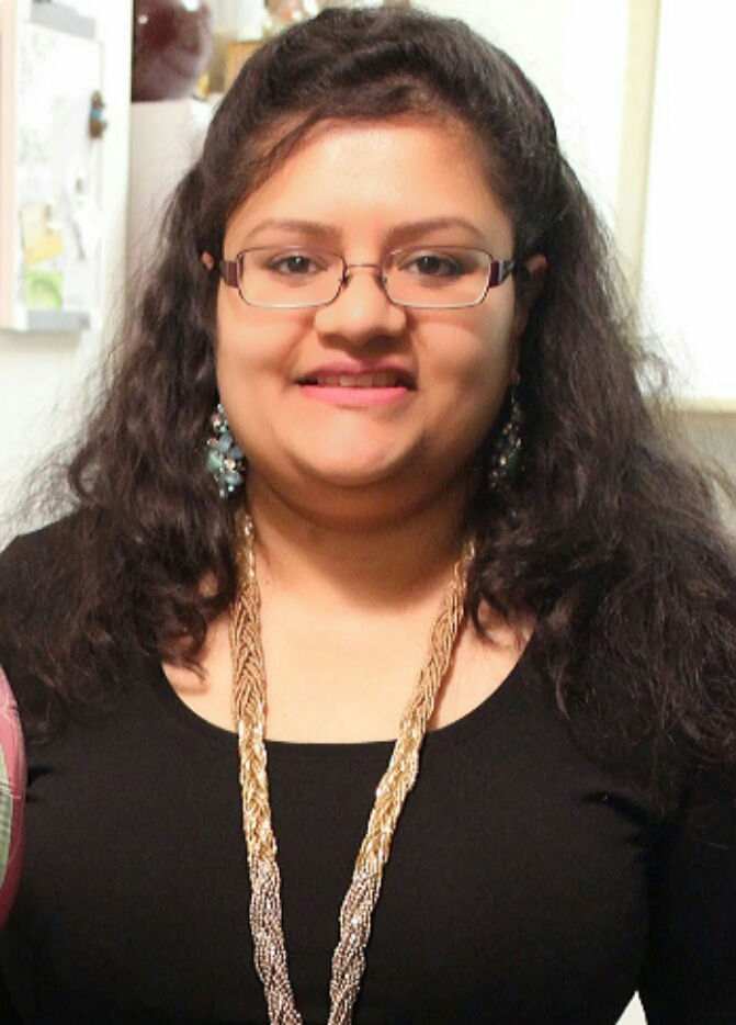
Anju Mercian, VP of Engineering at Omdena and Women Who Code Silicon Valley Director
My journey into tech started with my undergraduate in Computer Science. After completing my undergraduate in India I came to the US to pursue my master’s in Computer Engineering, pursuing higher education in the US had always been a dream of mine.
I joined as a full-time software engineer at Intel after my master’s from Syracuse University and worked with the Infrastructure team working on automating their tools. It was a great job but I felt my passion lay elsewhere. In pursuit of my passion, I tried my hands at different units of the tech field as a business analyst, and technical program manager; finally finding my passion for data when I worked as a data analyst.
I realized I wanted to be in the realm of data in the tech world and began taking online courses to upskill; to eventually become a data engineer.
I was part of a scholarship challenge by Udacity. I was introduced to a social enterprise called Omdena that does AI for social good. We could volunteer to participate in different AI-based projects. I looked them up and they had many different wonderful projects listed. When I came across the earthquake project description and was intrigued.
The project was for UNDP Istanbul, scientists were predicting that there was going to be a higher magnitude earthquake slated to hit Istanbul and it would happen right in the city. Many solutions were being worked on by others to help reduce the after effects, so they came to Omdena for an AI-based solution. This particular project was to help parents reach their children in schools if it happened on a weekday when schools were open, by helping them find a short and safe way after the earthquake.
I joined the project as an ML Engineer and used OpenStreetMap (OSM) and dijkstra's algorithm to find the shortest distance between the different locations and the school. First, we find the shortest distance then we use satellite imagery to get to the streets that haven’t been damaged mapping the safest route. More Info.
Currently, I work as a data engineer creating pipelines and data dashboards.
We’d love to share your experiences as you explore your passions as an engineer. Let your director or lead know you’d like to write a blog for the WWCode blog.
